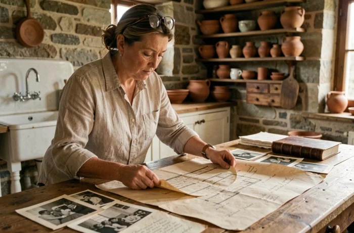
Every house bears the traces of its successive occupants, its transformations, and its neighborhood as it existed before. Old photographs allow us to trace this visual thread, sometimes over more than a century. The difficulty lies less in the existence of these images than in their dispersion: public collections, private collections, online platforms, and family archives store images that no one has yet matched with the address of your property.
Aerial photographs from IGN: an underestimated starting point
Articles dedicated to the history of a house often point towards the land registry or the title deed. Historical aerial photographs provide a different angle, more visual and sometimes more telling for dating a construction or an extension.
The Remonter le temps platform, operated by IGN, provides access to aerial coverage that dates back, for some municipalities, to the 1920s. The tool allows users to overlay two images taken decades apart and observe the evolution of the built environment parcel by parcel. One can spot the emergence of a building, the disappearance of an agricultural annex, or the extension of a housing development.
The process to find old photo archives is not limited to curiosity: these aerial images also serve as legal proof of the prior existence of a building. Several owners use them in urban planning disputes to demonstrate that a construction existed before a regulatory date. The timestamped aerial image then constitutes a piece of evidence that is difficult to contest in court.
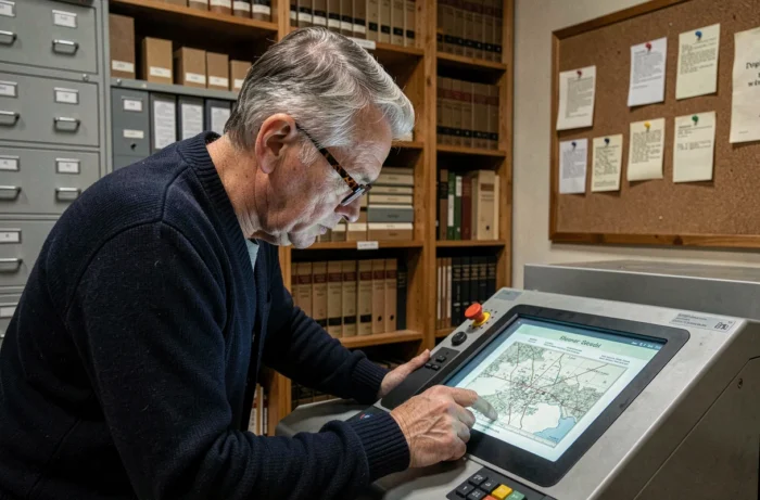
Departmental archives and photographic collections: where to look for facade views
Departmental archives hold photographic collections that far exceed the land registry and notarial deeds. Several departments have digitized collections of old postcards, architectural surveys, and local reports featuring entire streets with identifiable facades.
Research is generally conducted by municipality, street, or land registry section. Some collections remain accessible only on-site, in reading rooms, with a classification by reference that requires a minimum of method.
- The land genealogy guide from the Eure-et-Loir Departmental Archives details the method for tracing the chain of ownership by cross-referencing land registry maps and matrices.
- The Dordogne Departmental Archives regularly upload new digitized documents, including photographs of the area.
- The regional heritage photo libraries (such as that of the Pays de la Loire) provide access to architectural inventory images classified by municipality.
Each department digitizes at its own pace, creating disparities. For a house located in a department that is advanced in digitization, online research may suffice. For others, a physical trip to the archives remains the only option.
Private collections and cultural events: sources beginning to open
Private photographic collections represent a treasure trove of images that public databases do not cover. In October 2026, the photo archives of Paris Match in Levallois-Perret will be opened free of charge to the public for the first time, as part of the Journées Particulières organized by the LVMH group. Visitors can consult on-site image boxes covering a large part of the 20th century.
In September 2026, the archives of Old Paris (about 6,200 old photos of the capital) will be accessible through free guided tours during the Heritage Days. These images show views of streets and buildings rarely shown to the public.
These occasional openings create an opportunity for anyone looking for images of their neighborhood or street over several decades. However, they remain limited in time and focused on major cities. For rural areas, private collections are more likely to be found with local history societies, heritage preservation associations, or families of former owners.
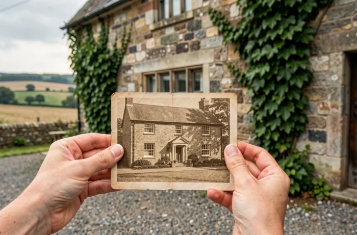
How to spot useful events
The Heritage Days (the third weekend of September) and the Journées Particulières of LVMH are the two recurring events. Announcements generally appear a few weeks in advance on the websites of cultural institutions and local authorities.
Cross-referencing sources to date a transformation
A single source rarely provides a complete answer. The aerial photograph shows the footprint, not the facades. The old postcard shows the facade, not the internal structure. The Napoleonic land registry provides the original parcel layout, not the modifications of the 20th century.
Cross-referencing three types of documents (aerial view, ground view, cadastral document) allows for the reconstruction of a reliable chronology. For example, an aerial view from 1950 showing a building absent from the Napoleonic land registry places the construction between these two dates. A postcard from the 1920s showing the same facade as today confirms that the structure has not been modified since.
- IGN aerial view: ground footprint, presence or absence of the building, immediate environment.
- Postcard or street photograph: facade, visible materials, commercial signs, vegetation.
- Cadastral plan and matrix: identity of successive owners, declared area, parcel division.
- Notarial deed or title deed: date of transfer, price, easements, description of the property.
The available data do not always allow for precise dating of a construction, especially for rural houses predating the Napoleonic land registry. In this case, parish registers or seigneurial archives can complement the research, but their exploitation requires a paleographic skill that not all individuals possess.
The gradual digitization of departmental collections and the occasional opening of private collections expand the scope of accessible images each year. For an old house, the work of photographic research remains a process of patience, where each new document uploaded online can reveal an image that no one had yet associated with your address.